This Time From the East
April 23, 2024
A month ago I paddled out of John Day to look for a line of floating houses I’d seen on a satellite map. They are east of Astoria and over two miles off the mainland on Russian Island. That trip was another safe and fun day boating but it failed in its goal. I only caught a distorted view of a roof and maybe a wind generator through a long lens. That trip is written about here.

The houses of Russian Island still remained a mystery. Russian Island itself has little written about it. There is a Google review of Russian Island with burly man sauntering on a beach giving his review here with his non-Oregon accent but, I’m pretty sure that’s located elsewhere.

Today I would approach from the east instead of the west. I’m launching from Knappa instead of John Day. That should reduce the round trip to the floating homes from around 14 miles to 8.

Also, today the tide would climb to 7.3′ and not drop below 4.5′. Last month I was running aground during the +1′ tide.

On the way I decided to take the short side trip to visit the Twilight Eagle Sanctuary just east of Astoria.

I confirmed that the cameras were working today. This pelican and its bird buddies were almost a quarter mile away. The old pocket camera (on the left) captured the better image than my newer one I’m that I’m still learning about.


After arriving in Knappa I took the familiar route to the end of Knappa Dock Road.

Knappa Dock Road now ends at a beach without Knappa’s dock. A local resident revealed that it had been WW2 surplus and had finally worn out. Google earth still shows it today but it won’t for long. The old dock was too high for kayaks anyway but will be missed.

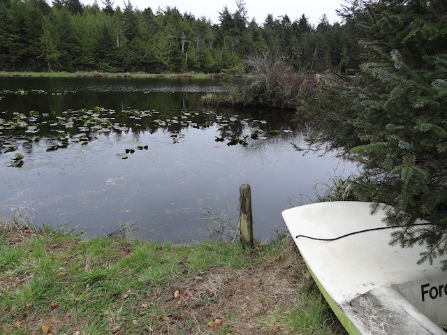
Here is the beach today.

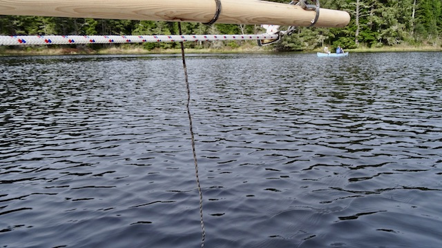
A quiet boat putted by and its owner stopped to take pictures and then continued sightseeing upstream. I had seen her, about retirement age like me, launching at the John Day ramp earlier today. I think it’s brilliant. She was touring the waterways as independently as a bicyclist or a motorcyclist might tour a back road. A safe vehicle with more accessibility than a typical little boat.


Here’s looking back. The house serves as a good landmark. I once spotted it when I thought I was on Blind Slough, a mile away. I realized my mistake and turned around. Hey, Lewis and Clark became disoriented in these same sloughs. I quote Meriwether “…not paying much attention we mistook our rout which an Indian perceiving pursued overtook us and put us in the wright channel.” My disoriented trip back in 2019 is here.

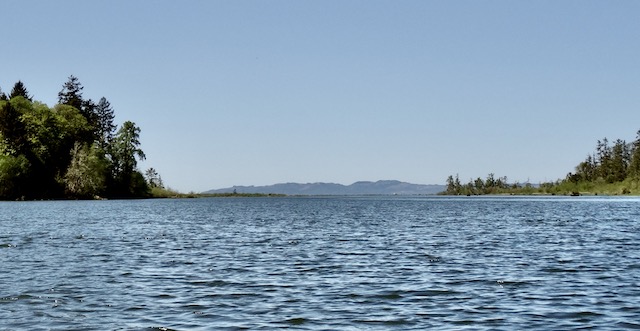
Big Creek Slough was ahead where it looked breezy. The northern wind was predicted to be between 10 and 20 mph. Karlson Island provided shelter for now.
There was a structure that I thought might be a blind on the shore. A closer inspection looked like a anti-animal nibbling screen but not sure what it was protecting.


I rechecked everything then headed northwest into the north wind to cross the less protected Prairie Channel.

I was only doing about 6 mph, it just felt faster. Somewhere I even did over 7 mph but probably didn’t have a free hand to check.

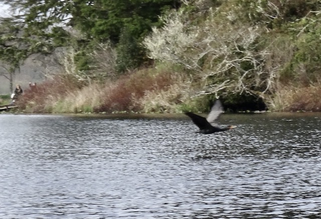
A pelican was keeping company with what appeared to be American Coots.

Here’s 3/4 of a minute of either awesome or excessive wind noise from a small point’n ‘shoot camera as we all rode the wind and waves.
After about 20 minutes I reached shelter within Russian Island where the breeze died down. Within minutes I spotted houses on the horizon.

It was pretty quiet today. The wind generator I may have seen last month was put away.

Here’s that trip again chopped down to a minute and a half with a better camera. An automotive Garmin I had brought to pinpoint the houses instructs me to “Please drive the highlighted route.”
There were more pelicans taking shelter within our island but they kept their distance.

I didn’t take many close-ups as I respected their privacy. Maybe I was being filmed too.


Looking at my chart I found a different channel to return on. I took one last look at the floating homes…

…and paddled through Russian Island looking at the birds. Didn’t have the camera ready when I should have, but I’m trying to learn to watch more closely.


Last trip I entered the island from the west, today was from the east.


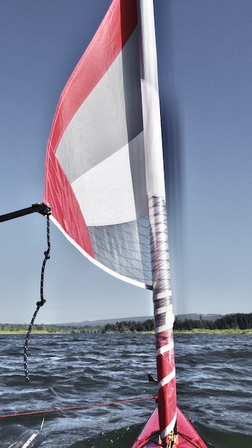
A tail wind and a little bit of sail brought me back at 4-5 mph. The wind textured the water and the swells lifted the boat and surfed it forward…

…until I returned to the quieter waters behind Karlson Island.

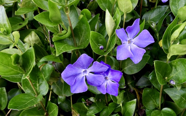
The old house on the hill had vinca in bloom spilling down its hillside as I loaded up to go home.

The Garmin needed a reset about a mile from the dock. The phone’s ‘Map My Tracks’ at 14.1 mph is too fast. The final numbers for keeps are: 10.7 miles traveled in 3 hours and 41 minutes with a maximum speed of 7.1 mph with a moving average of 2.6 mph.